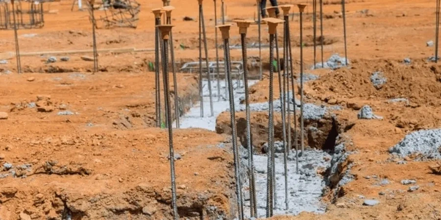
Savannah's subgrade rarely cooperates. The Pleistocene and Holocene sediments underlying the city demand deep foundations more often than most builders expect. We encounter layers of soft organic silts, loose sands, and stiff clay at variable depths, all influenced by the Savannah River’s historic meandering. Before a single pile is ordered, understanding this stratigraphy is what separates a reliable foundation from one that settles differentially. Many projects here begin with a detailed SPT drilling campaign to map refusal depths, followed by careful evaluation of the compression characteristics of the deeper bearing strata. The goal isn't just to reach competent material; it's to design a system that balances axial capacity with the lateral demands imposed by coastal wind events.
In Savannah's marsh transition zones, pile capacity calculations must account for the neutral plane shift caused by consolidating organic soils, a detail missed in generic designs.
Method and coverage
Regional considerations
The contrast between a site on Chatham Parkway and one out near Coffee Bluff illustrates Savannah’s risk profile. Chatham Parkway often rests on relatively dense sand ridges where end-bearing piles can achieve high capacity with manageable settlements. Coffee Bluff, closer to the Vernon River, sits on softer, compressible marsh deposits where negative skin friction from settling fill and organic layers can overload a pile structurally if not modeled correctly. The most frequent failures we observe stem not from outright collapse, but from serviceability issues: excessive total settlement due to an underestimated compressible layer, or differential movement between pile-supported and slab-on-grade portions of a building. Lateral spreading potential along the riverfront during a seismic event, though low-probability, remains a design check we never skip.
Standards that apply
IBC 2021 (Chapter 18: Soils and Foundations), ASCE 7-22 (Minimum Design Loads for Buildings), ASTM D1586-18 (Standard Penetration Test), ASTM D2487-17 (Unified Soil Classification), FHWA GEC 10 (Drilled Shafts), AASHTO LRFD Bridge Design (Section 10)
Complementary services
Axial Capacity Analysis
Static and dynamic analysis using alpha, beta, and CPT-based methods calibrated to local load test databases.
Lateral Load & Scour Design
P-y curve modeling for hurricane wind loads and scour evaluation per HEC-18 for structures near the Savannah River.
Pile Driving & Installation Monitoring
Wave equation analysis (GRLWEAP) and PDA testing to verify design assumptions during construction.
Typical parameters
Q&A
What is the typical cost range for a pile foundation design in Savannah?
For a standard single-family or light commercial structure, the engineering design and geotechnical reporting typically ranges from US$1,760 to US$6,140, depending on the number of borings required and the complexity of the loading conditions.
How do Savannah's coastal soils affect pile design compared to inland Georgia?
The primary difference is the presence of soft, compressible marsh clays and a shallow, tidally influenced groundwater table. This requires careful negative skin friction calculations and corrosion protection for steel piles, which are less of a concern in the Piedmont region's residual soils.
What lateral load considerations are unique to the Savannah area?
Wind governs design for most buildings; we use the 150 mph ASCE 7-22 design wind speed. For waterfront structures, vessel impact and scour depths per HEC-18 are also critical lateral load cases.
How do you verify pile capacity during installation?
We specify dynamic load testing with a Pile Driving Analyzer (PDA) system during initial driving. For CFA piles, we monitor grout volume and pressure continuously, and verify integrity with cross-hole sonic logging or thermal profiling.