Savannah's 1733 Oglethorpe grid plan placed the city atop a bluff overlooking the river, but its expansion into the low-lying marshlands tells a different geotechnical story. The subsurface here transitions sharply from Pleistocene sands to soft, compressible estuarine clays within a few blocks. When a contractor opens a deep excavation near Factors Walk or along Bay Street, the risk of ground movement affecting 19th-century masonry foundations is immediate. We run geotechnical excavation monitoring programs that combine automated inclinometers, settlement points, and piezometers to track ground response in real time. For complex sites, integrating data from CPT soundings helps us calibrate the baseline soil model before shoring installation begins.
In Savannah’s soft clays, excavation monitoring is not an inspection checkbox—it is the feedback loop that prevents a shoring design from becoming a forensic file.
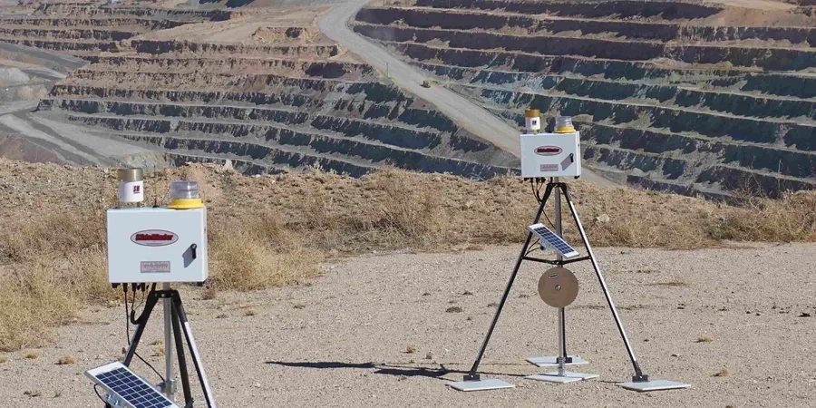
Method and coverage
Regional considerations
The most common mistake we see on Savannah jobsites is a contractor assuming that a stiff surficial sand layer means the excavation will behave predictably at depth. They skip baseline condition surveys on neighboring buildings, install minimal instrumentation, and then discover diagonal cracking in a historic party wall when the third lift exposes a pocket of organic silt. Georgia’s humid subtropical climate accelerates deterioration once cracks open, and rainfall infiltration into the excavation face can soften the passive zone behind soldier piles. We insist on pre-construction crack surveys with photo logs, vibration trigger levels tied to the age and condition of each structure, and a clear communication protocol with the structural engineer of record. Waiting until Monday to review Friday’s data is not acceptable when dewatering pumps are running through the weekend.
Standards that apply
IBC 2021 Chapter 33, ASCE 7-22, ASTM D6230-21 for inclinometers, OSHA 1926 Subpart P
Complementary services
Deep Excavation Instrumentation Package
Combines inclinometer casings behind the shoring wall, optical survey points on the bracing system, vibrating wire piezometers at two depths, and seismographs on the nearest three structures. Data is uploaded to a cloud dashboard accessible to the GC, owner, and EOR.
Adjacent Structure Protection Monitoring
Pre-construction condition survey with 360-degree photo documentation, installation of manual and automated crack gauges, tiltmeters on load-bearing walls, and vibration monitoring with real-time SMS alerts for exceedances.
Typical parameters
Q&A
How much does geotechnical excavation monitoring cost for a project in Savannah?
Budget between US$960 and US$2,880 per month depending on the number of instrument clusters, the complexity of the shoring system, and the sensitivity of adjacent structures. A basic setup with one inclinometer, five settlement points, and one vibration monitor on a single building falls at the lower end. A full program covering a city block with automated dataloggers, multiple piezometers, and daily reporting reaches the upper range.
When is excavation monitoring required under IBC or local Savannah ordinances?
IBC Section 3304 triggers monitoring when excavations exceed 20 feet in depth or when adjacent structures are within a distance equal to half the excavation depth. Savannah’s Development Services Department also requires a vibration and settlement monitoring plan for any work within the Landmark Historic District, regardless of depth.
What types of instruments do you typically install on a Savannah excavation site?
The standard layout includes inclinometer casings grouted into boreholes behind the shoring wall, optical survey prisms on the wall face and adjacent buildings, vibrating wire piezometers to track groundwater drawdown, and triaxial geophones for vibration. We add crack gauges and tiltmeters when protecting unreinforced masonry structures.
How fast do you report an exceedance during monitoring?
Our system sends automated alerts by SMS and email within minutes of a threshold breach. The engineer on duty reviews the data stream immediately, contacts the superintendent by phone, and delivers a written incident note within two hours. We do not batch alerts for a weekly report.